Below is a list of the top and leading Hiking Trails in Tauranga. To help you find the best Hiking Trails located near you in Tauranga, we put together our own list based on this rating points list.
Tauranga’s Best Hiking Trails:
The top rated Hiking Trails in Tauranga are:
- Papamoa Hills Regional Park – presents scenic views of farms and coasts
- Gordon Carmichael Reserve – with a walking trail leading to a stormwater reserve
- Kulim Park – rejuvenating hike experience near the coastal area
- Yatton Park – trails blessed with a network of native plants and birds
- Ngamuwahine Track – a challenging hike that progresses to rivers and bushes
Papamoa Hills Regional Park
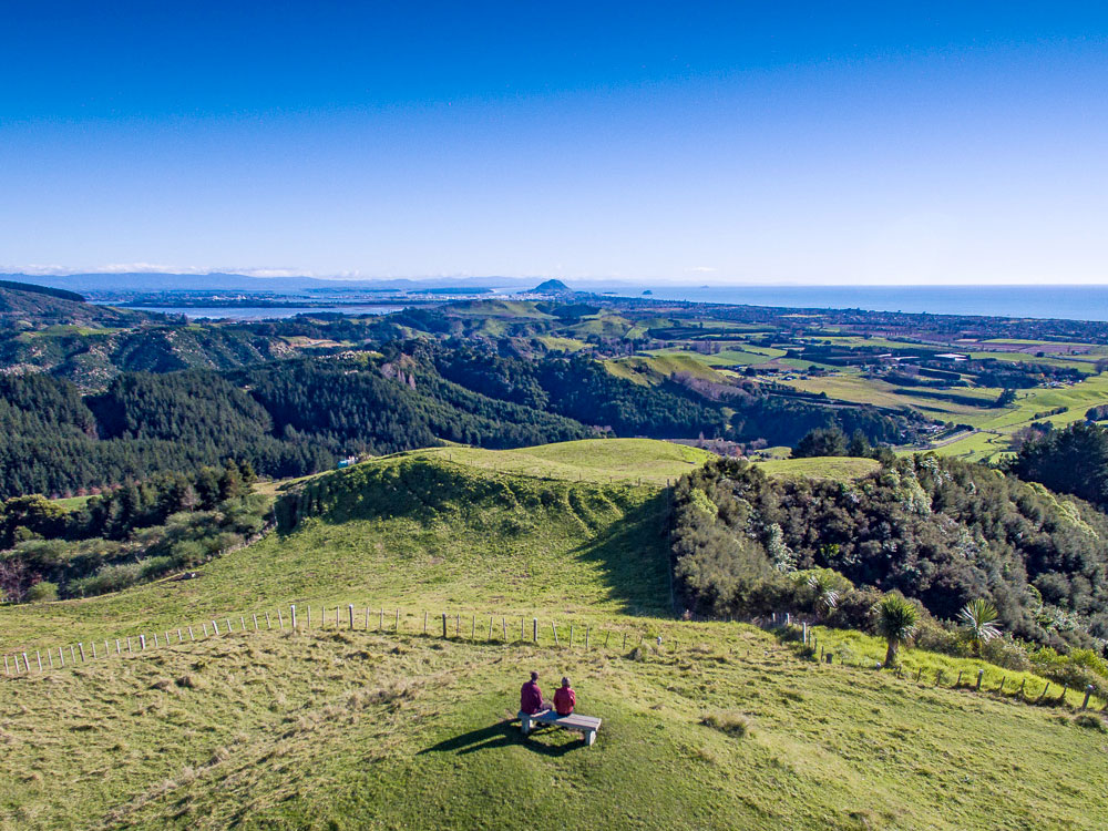
Papamoa Hills Regional Park occupies 135 hectares of land in the Western portion of the Bay of Plenty. It is a known hiking trail located near Te Puke and presents an easy track to outdoor lovers living in the Tauranga area. The hike offers incredible coastal and farmland views. Tracks start at Poplar Lane slowly leading to a pine forest, open grassland, and an area occupied by native bushes. From here, the hike becomes relatively steeper. Other tracks are also present which all lead to the 224 metres above sea level summit.
Products/Services:
Native Bush, Open Farmland
LOCATION:
Address: Poplar Lane, Papamoa 3187
Phone: (480) 088-4880
Website: www.boprc.govt.nz/papamoa-hills-regional-park
REVIEWS:
“Steep walk on a well-formed gravel path but worth it for the views. Best done in the cool of the day as there’s not much cover yet despite the extensive planting done in recent years by the bay of plenty regional council. Culturally significant location to local Maori.” –Rusty Knuts
Gordon Carmichael Reserve
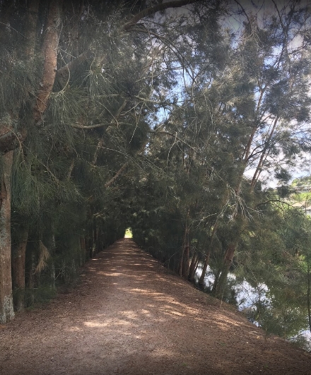
Gordon Carmichael Reserve is a Tauranga-based hiking trail that is home to an impressive bird species. This makes it ideal for outdoor lovers specifically walking and cycling enthusiasts. It is a 60-hectare area open to the public decorated with native plants and various wetland areas nestled in the middle of Brookfield suburb and Mayfield subdivision of Bethlehem. A 2-kilometre walkway greets visitors that leads to walking and cycling links. The links are lined up with 60-hectares of stormwater reserve inhabited by native birds and plants.
Products/Services:
Walking & Cycling Links, Stormwater Reserve
LOCATION:
Address: Bethlehem, Tauranga 3110
Phone: (475) 777-000
Website: www.tauranga.govt.nz/gordon-carmichael-reserve
REVIEWS:
“It is a really lovely park..heaps of birds, swans, ducks, pukeko, Canadian Geese. cool playground for kids, big & small…safe, environment for kids. Next time I’ll take some peas for the bird..no bread, give them peas.” –Jan Tui
Kulim Park
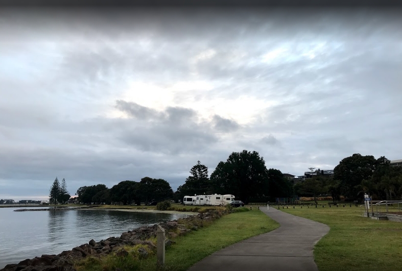
Kulim Park is a lovely park in the Bay of Plenty region of New Zealand. It is situated in Otumoetai, Tauranga. The park has a play area, kid’s playground, barbecue stands, and gorgeous walking trails that thread through the waterfront neighbourhood. It’s hiking trails are described as easy and perfect for the whole family. It starts at the inner portion of the Tauranga Harbour and slowly progresses to Fergusson Park. Kulim Park used to be part of the Bureta farm. The owners dedicated the area to public recreation and in 1950 Kulim Park was born.
Products/Services:
Wheelchair Accessible, Dog Area, Toilets
LOCATION:
Address: 101 Kulim Avenue, Otūmoetai, Tauranga 3110
Phone: (475) 777-000
Website: www.exploretauranga.co.nz/kulim-park
REVIEWS:
“Loved this freedom camping spot (two spaces) right on the tidal beachfront. Swimming is limited as very little water with tides. Lovely view of the mount. Good walking and cycling path, but tends to be busy. Easy cycle to Mt Maunganui. Gates and toilets are locked at night.” –Stella Broughton
Yatton Park
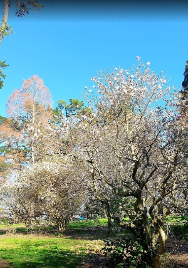
Yatton Park serves the Southern Tauranga community and is situated in the Parkvale area. The public park opens from 8 in the morning until 8 in the evening in summer and spring and from 8 am until 5 pm in winter and autumn. It has a lovely hiking trail that presents gorgeous collections of exotic tree and bird species. Not only that, but it also has a rich network of trees that was planted in 1866. The hiking trail takes about 10 minutes to finish starting from the Waimapu Estuary passing over the Esk Street Walkway.
Products/Services:
Water Features, Ponds, Stream
LOCATION:
Address: Fraser Street, Parkvale, Tauranga 3112
Website: www.tauranga.govt.nz/yatton-park
REVIEWS:
“Beautiful and calm park. You can walk on the track and even enjoy yourself with your family. Can have a picnic or do meditation and yoga. Parking facilities and toilets.” –Vikash Bhardwaj
Ngamuwahine Track
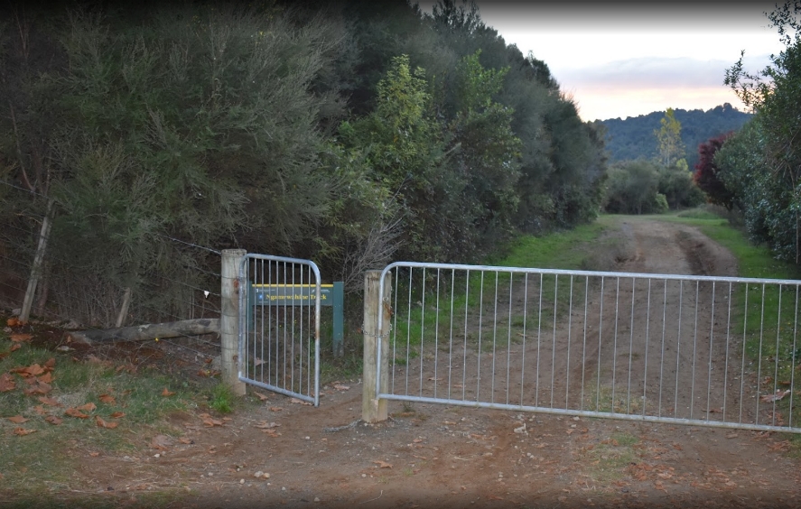
Ngamuwahine Track starts at the Ngamuwahine Road in the Kaimai Range summit of Tauranga. The hiking track requires 180 minutes to finish and covers 7.0 km of public access land. Starting from the Ngamuwahine Road the hike slowly leads to a river and lodge filled with bushes. The ridge soon follows and the Leyland O’Brien Tramline Track intersection marks the end of the track. While enjoying the hike, guests and visitors can admire the rich collection of native species in the area and the panoramic forest views.
Products/Services:
Bush Area, Forest View
LOCATION:
Address: 271 Ngamuwahine Road, Lower Kaimai 3171
Website: www.doc.govt.nz/ngamuwahine-track
REVIEWS:
“Great walk.” –Grant Sellars